ProForecast
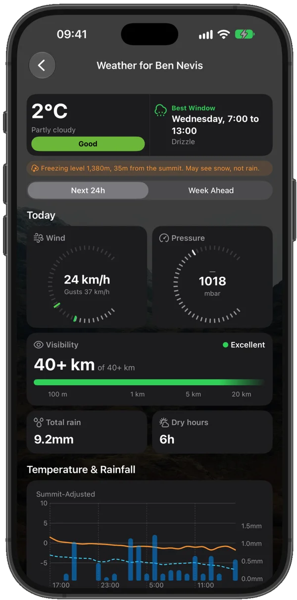
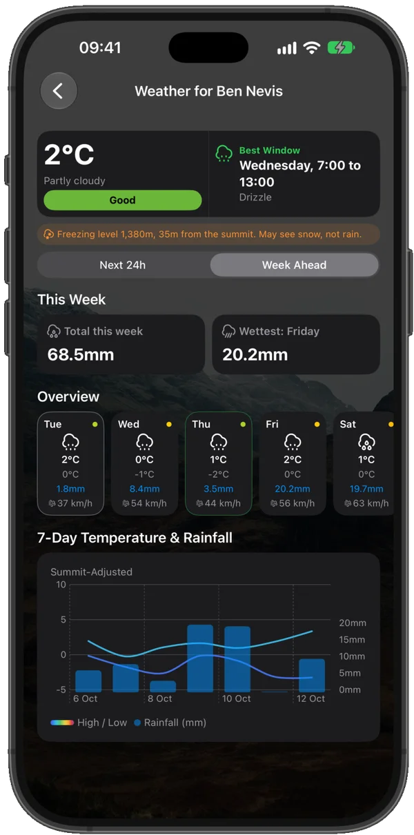
Summit Weather
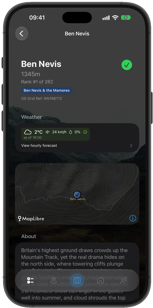
Altitude-adjusted forecasts for the Munro summit, not the glen below. Wind, gust, and visibility with a green, amber, or red safety rating — plus a region-wide outlook for the days ahead.
ProNavigate
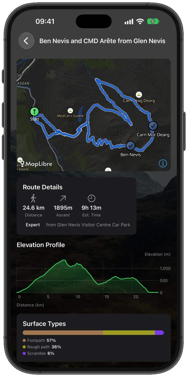
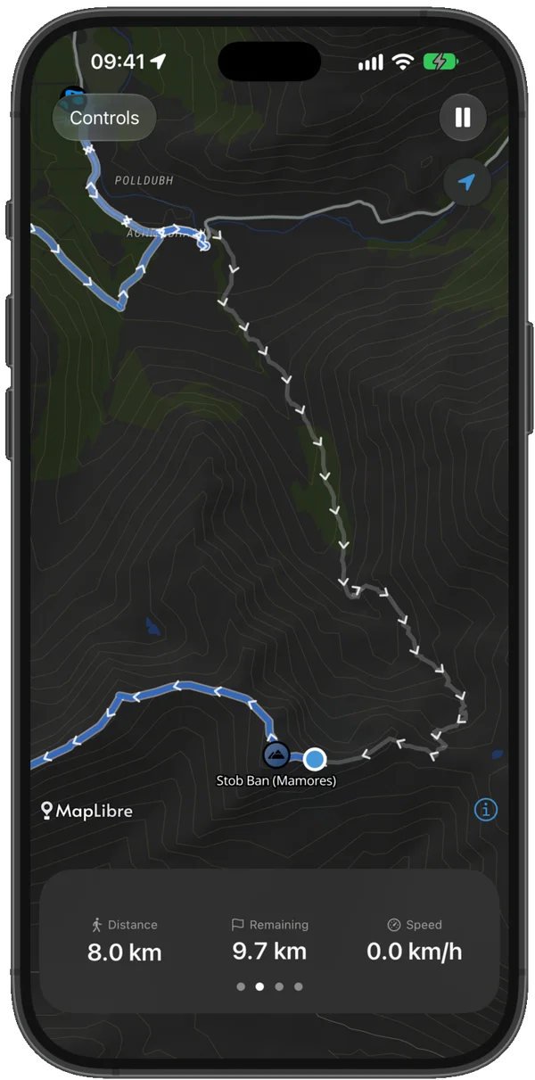
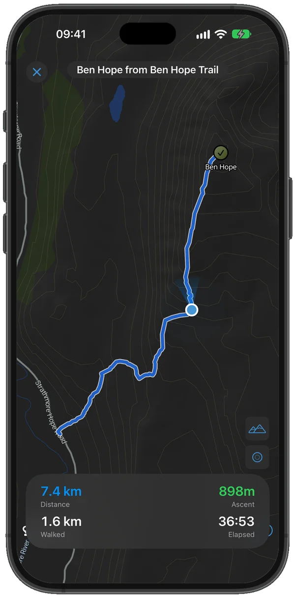
GPS Navigation
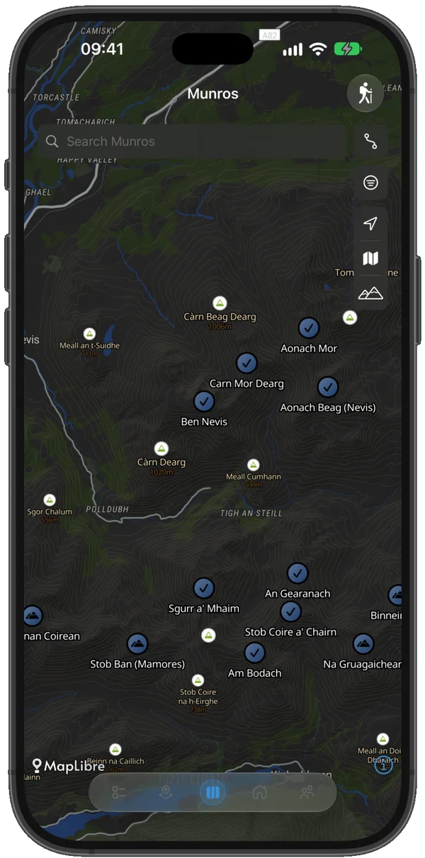
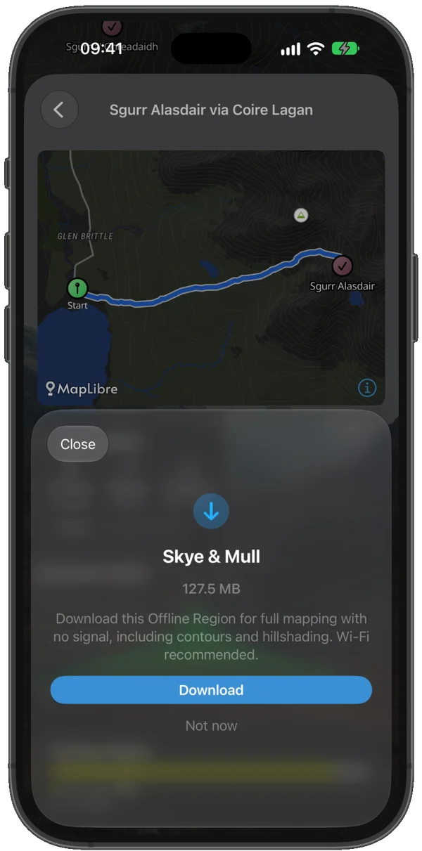
350+ hiking-aware GPS routes covering all 282 Munros. Live tracking, off-route alerts at 50m, 100m, and 200m, and auto hike-resume if a walk is interrupted.
ProPlan
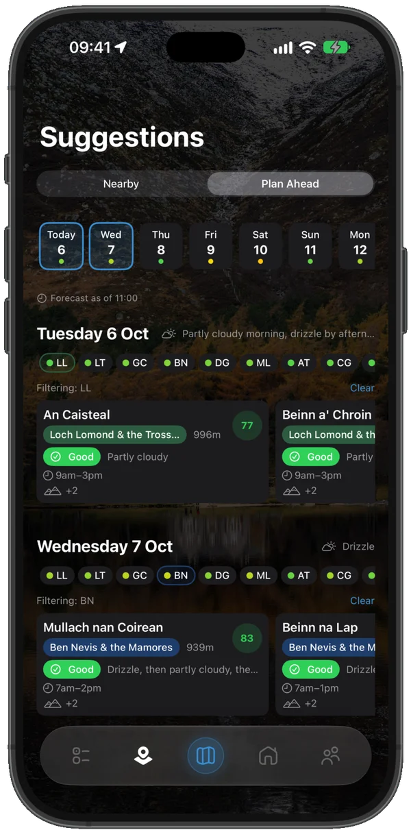
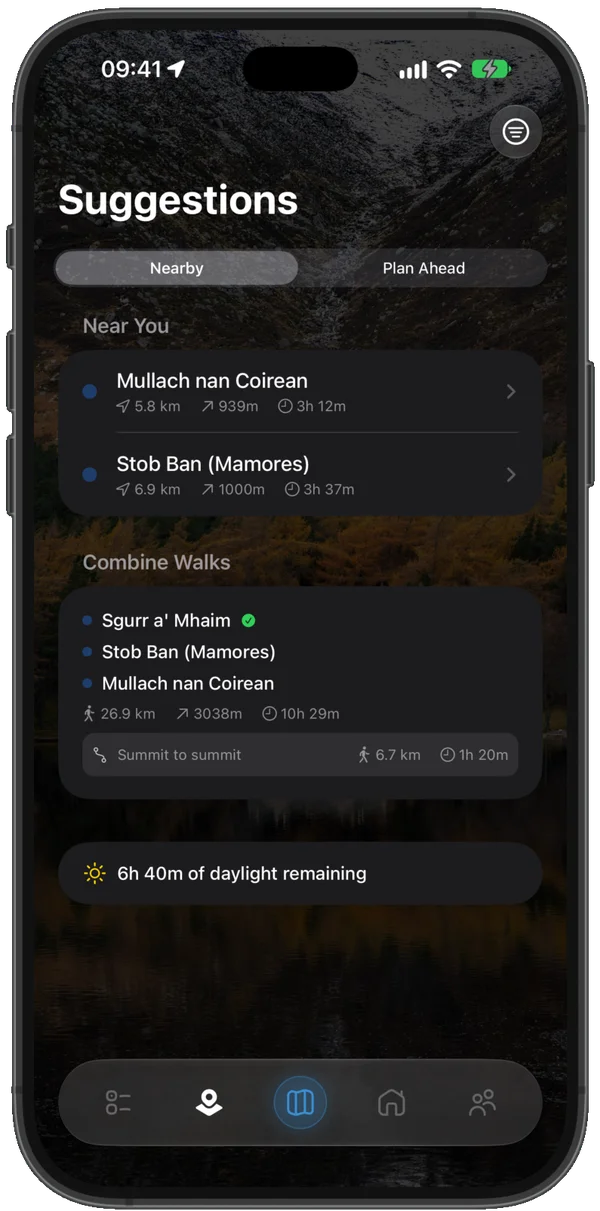
Smart Suggestions
Munros ranked by weather, daylight, and distance — for today and the week ahead. Plan Ahead tells you exactly where to go and when, based on the conditions ahead.
Companion+Follow
Follow-Along
A simplified navigation mode that shows your live position on the route as you walk — no constant screen checks needed. Just the Munro and where you are on it.
ProPlan
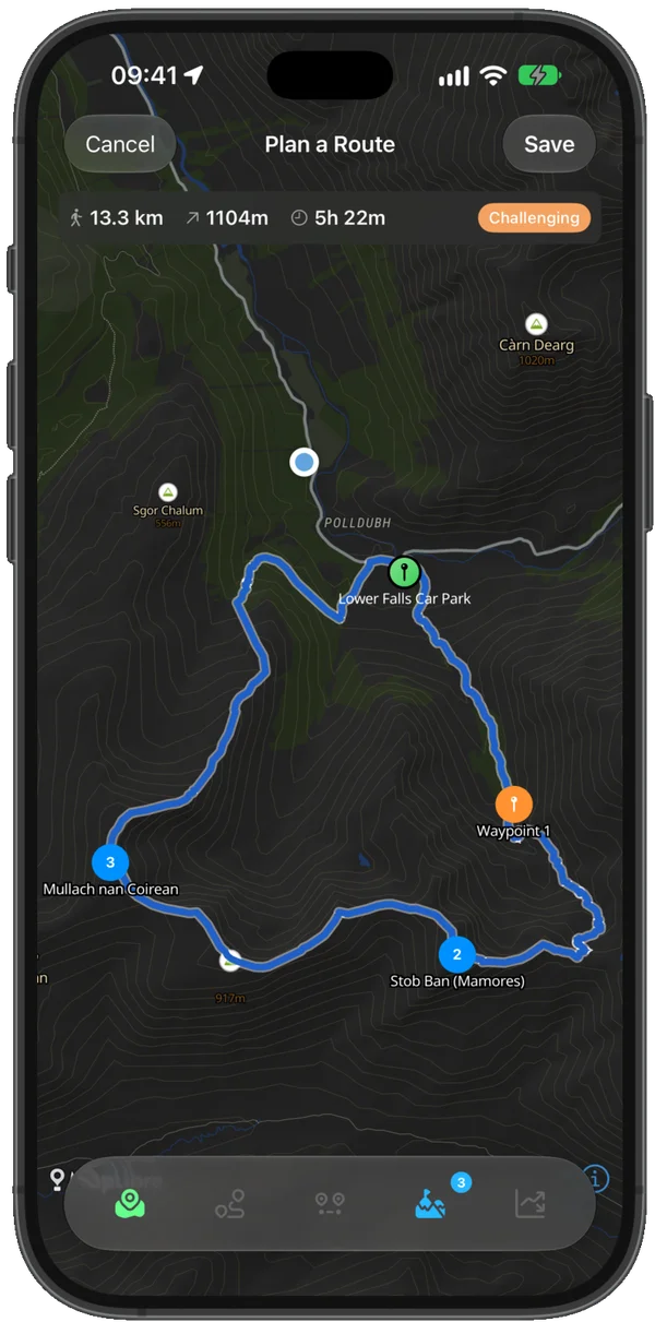
Route Planner
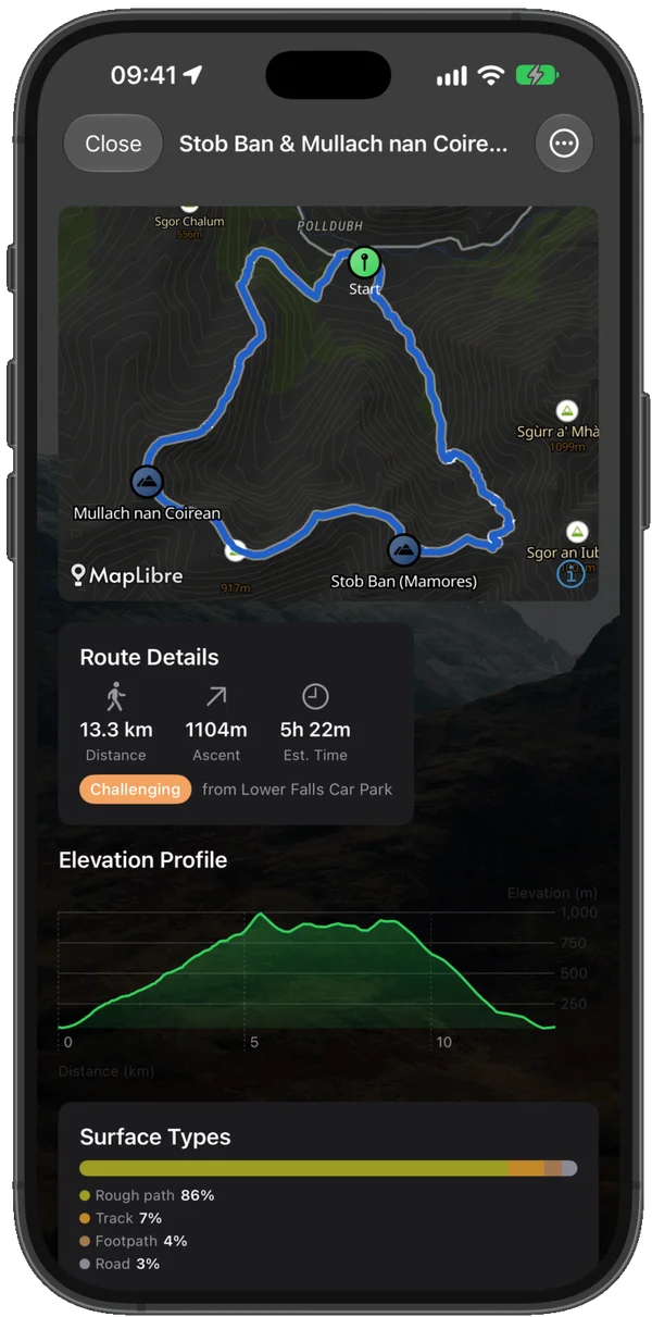
Build custom multi-Munro walks from scratch. Pick from 675+ car parks and trailheads, drop summits as waypoints, and generate a hiking-optimised route with distance, ascent, and time estimates.
ProLive
Live Activity
Walk stats on your lock screen and Dynamic Island as you hike — distance, ascent, and elapsed time at a glance, without unlocking your phone on the hill.
Companion+Achieve
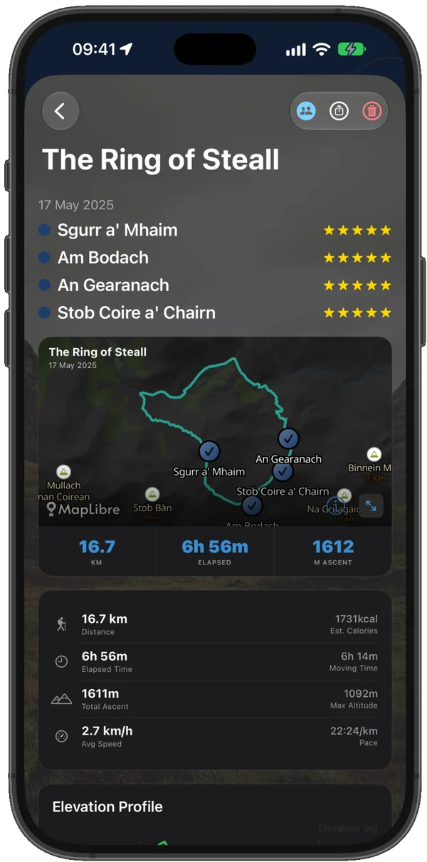
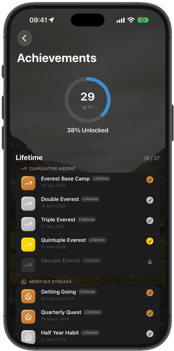
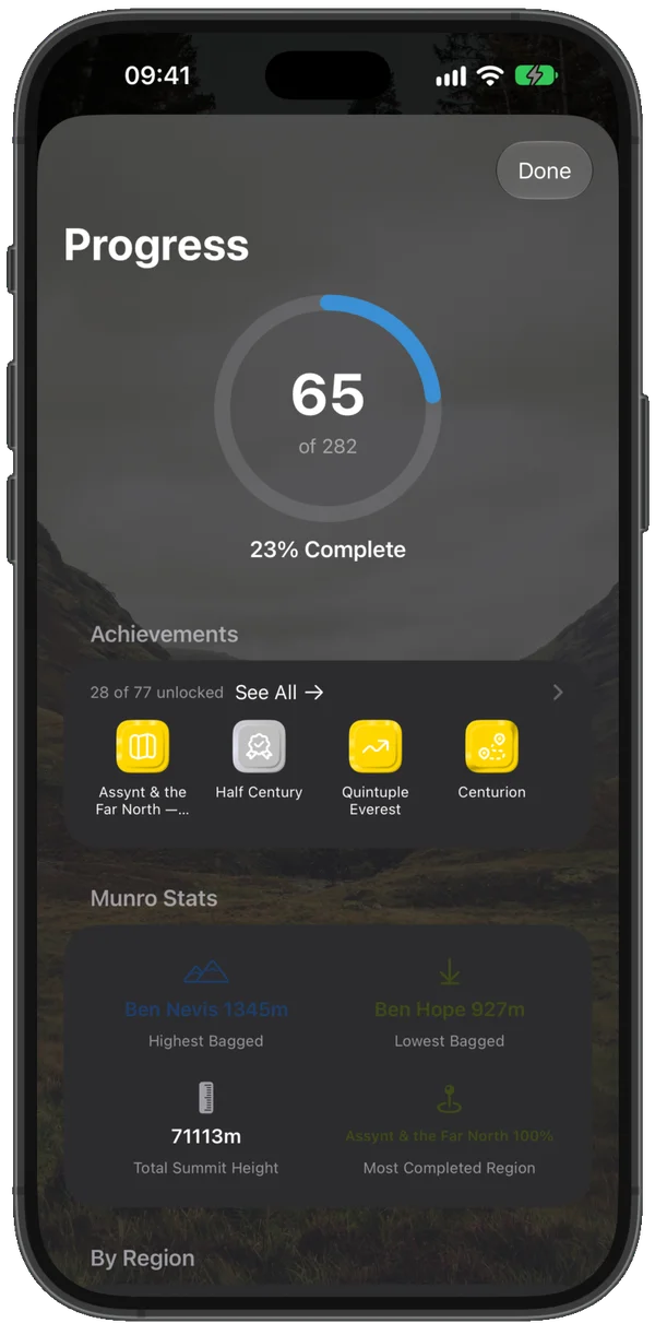
Stats & Achievements
Monthly charts, Compleating milestones, and 77 achievements. Shareable cards for every summit and walk — from your first Munro to your last.
FreeTrack
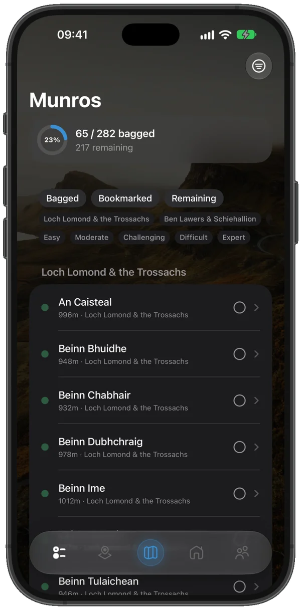
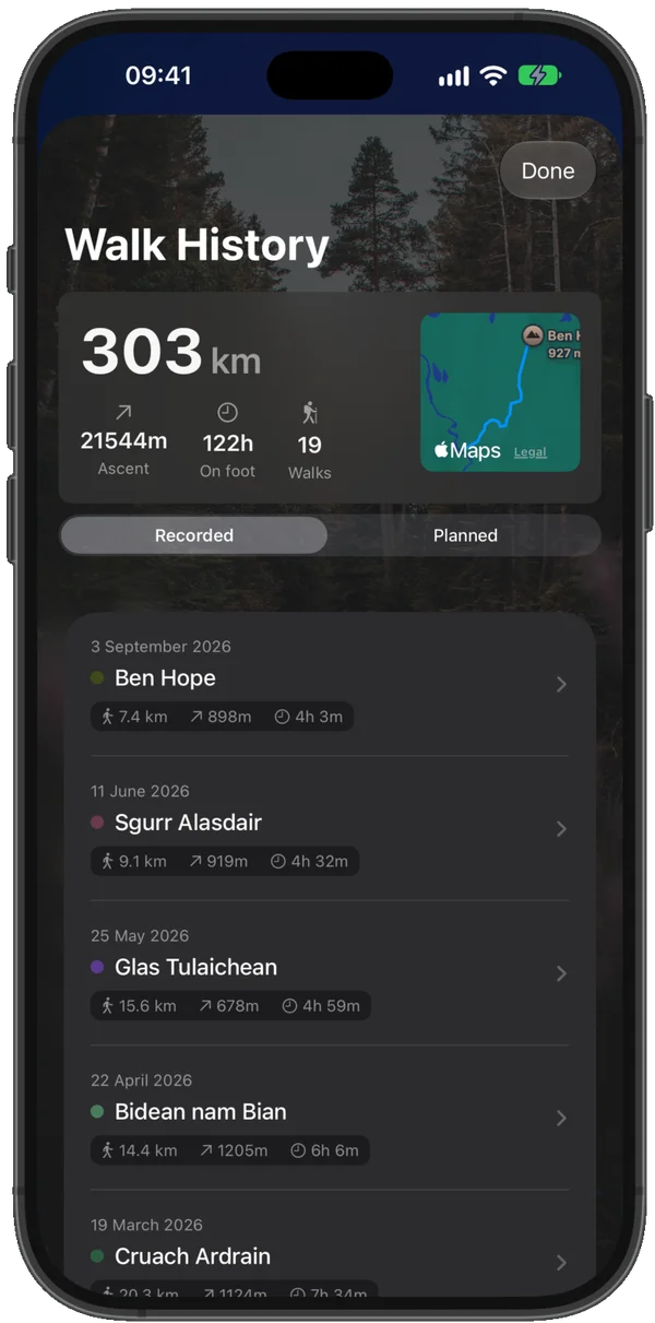
Full Checklist
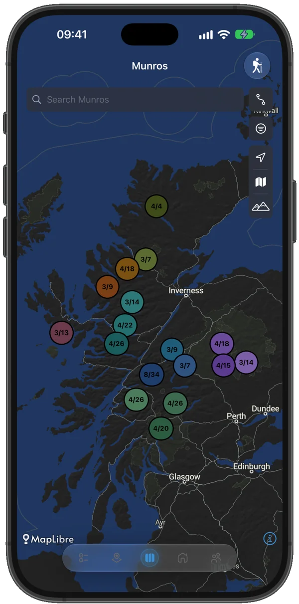
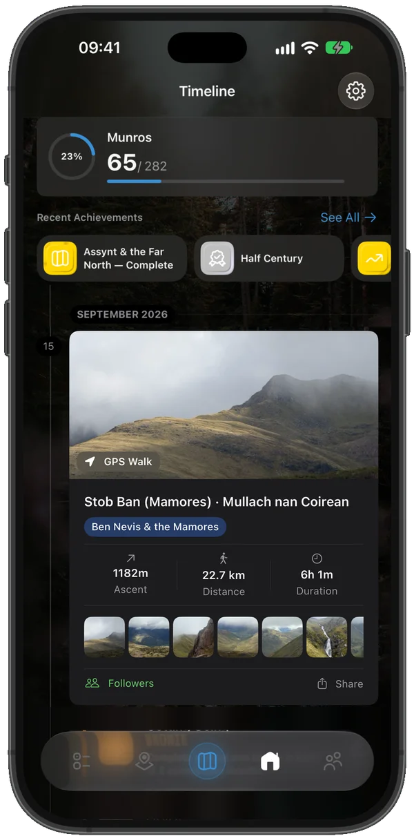
All 282 Munros with search and filters by region, height, and difficulty. Progress ring and timeline, to-do list, and nearby-Munro suggestions — free, forever.
FreeSync
Companion Account
Your progress syncs seamlessly across your devices via a secure Companion Account — linked to Sign in with Apple. Optional social features and route sharing with fellow Munroists.